| 20130719-scenery_after_Carpenter_1_fire_in_Mt_Charleston | Return to http://www.kcmeyer.com |
| page 1 of 6 |
 |
 |
 |
 |
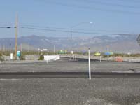
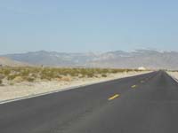
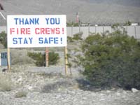
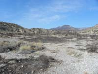
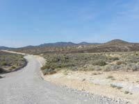
| 01-0730-no_roadb... | 02-matter_of_per... | 03-lots_of_signs... | 04-first_burned_... |
 |
 |
 |
 |
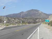
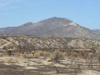
| 05-fire_damage_f... | 06-zoom_of_Harri... | 07-drove_a_littl... | 08-happy_to_see_... |
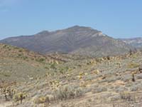
I would really like to hike in the backcountry to Harris and Griffith Peak for pictures, but that area is unfortunately closed since it is still an active smoldering fire. The area is referred to by the firefighters at 'goat rock' which is only accessible by Bighorn Sheep (although, not found in this area) and thus too difficult for the firefighters. What is ironic is that this is the type of terrain I and many other mountaineers travel for hikes. Although, I have to give credit to the firefighters because I'm not carrying an unbalanced 50 to 80 pound pack with gear. In the meantime, time to respect the closure of this area and hope that it opens up again in the near future.
20130718-Forest_Service_closure_notice-7-18FS_fire_news_release.pdf
20130718-Forest_Service_closure_notice-SMNRAClosure2013July18.pdf