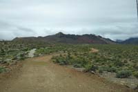
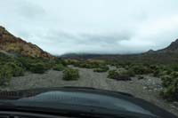
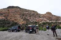
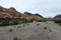
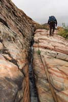
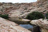
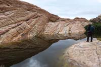
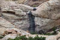
The original plan for today was Snoopy's Nose. Although, due to the big rainstorm the night before and the potential for more rain today, we decided to meet later than planned to discuss options. We knew that there was a lot of moisture in the air and that the mountains condense that moisture since a large land mass. The higher mountains would attrack more moisture so it might rain on us or we would hike into clouds if we continued with the original plan of Snoopy's Nose. Therefore, we opted for Turtlehead Peak via Brownstone Basin requiring us to drive up a dirt road. The plan worked perfectly. We noticed Snoopy's Nose was no longer covered by clouds until after about 2 pm. Great day with great company enjoying a wonderful wilderness experience seeing no one except on the peak.
Turtlehead_Peak_via_Brownstone_Basin-20190510.gdb
Turtlehead_Peak_via_Brownstone_Basin-20190510.gpx
Link to original pictures