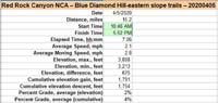
20200405B-Blue_Diamond_Hill-eastern_slope_trails
page 7 of 7
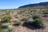
76-Fire_Station_Hill_WP4-usage_trail_with_BLM_Fire_Station_in_distance.jpg
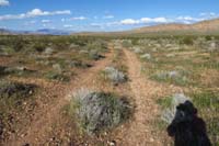
77-back_to_'main_trail'_which_is_actually_a_dirt_road,Fire_Station_Hill_WP3.jpg
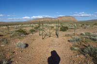
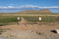
78-turns_out_an_officially_recognized_hiking_path_due_to_control_barrier-follow_fence_to_left_to_road.jpg
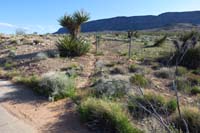
79-looking_back_from_road_to_fence_leading_to_control_fence_for_hiking_access.jpg
80-hiker_control_access_across_from_Moenkopi_TH_parking_area_for_Brokeback_Mt_Trail.jpg
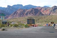
81-Calico_Basin_closed_to_hikers,only_residents_due_to_COVID_social_distancing_concerns.jpg
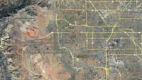
82-Google_Earth-region.jpg
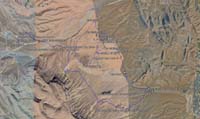
83-Google_Earth-hike1.jpg
84-Google_Earth-hike2.jpg
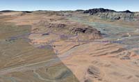
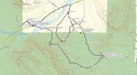
85-topo.jpg
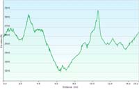
86-hike_profile.jpg
87-hike_specs.jpg